Mt. Grant Summit Loop
FEATURED WALK
Length: 2.1 miles
Estimated Time: 1 hour
Difficulty: Moderate
Type: Loop
Submitted by: Alicia McVey


This just-over-2-mile loop showcases some of the island’s most peaceful forest trails, with mossy woods, ancient Douglas firs, and sweeping summit views in every direction. From Mount Baker to Vancouver Island, the vistas are well worth the climb. The preserve is bordered by private land, so please stay on designated trails and do not stray off preserve property.
The route is steep in places, especially on the way up, but the trails are well-marked, and a gentle, winding descent makes for a rewarding return.


1
Parking Options and Trailhead
After turning off West Valley Road, you’ll immediately pass the lower parking lot on your left (via Richard Lee Lane). If you’d like to add a little extra elevation to your hike, park here and walk up the paved road to the main trailhead. Otherwise, continue driving up the hill to the upper lot, where you’ll find the main trailhead, plenty of parking, and a portable restroom. Start your hike at the trailhead sign and enter the forested trail.

2
Cross the Boardwalk
Walk across a short wooden boardwalk through the first section of trail.

3
Carefully Cross the Road
Cross the summit road with caution—vehicle traffic is allowed Wednesdays and Sundays (April–September).

4
Take the Lawsonite Trail
At the fork, turn right onto the Lawsonite Trail for a direct route to the summit. The trail names reflect the unique geology of Mount Grant.


5
Steep Climb, Big Views
Most of the climb happens in the first 0.5 miles. Along the way, enjoy sweeping eastern views across San Juan Island and toward Mount Baker.

6
Summit Views
At the top, take in stunning views west toward Vancouver Island and north to the Gulf Islands. Closer by, you’ll see the back side of Mount Dallas, Sugarloaf, and a glimpse of Trout Lake—the source of drinking water for the town of Friday Harbor.

7
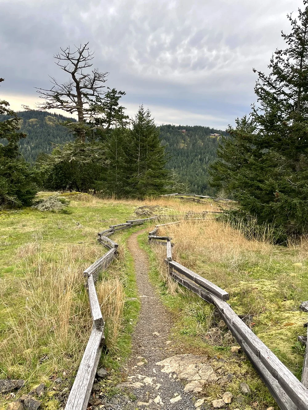
Walk the Summit Loop
Take time to walk the summit loop trail to enjoy 360-degree views in all directions—each turn reveals a new perspective of the island and beyond.

8
Begin Your Descent
From the summit loop, return the way you came—but at the fork, bear right and follow signs for the Greywacke Trail.

9
Watch out for Bikes
Mountain biking is permitted on certain trails in the preserve. Keep an eye (and ear) out for cyclists, especially on winding or narrow sections.


10
Gentle Descent Through the Forest
The Greywacke Trail offers a more gradual descent through mossy woods and past towering Douglas firs, leading you back to the trailhead.